
Yakima ZIP Coverage at a Glance
Twenty-five working ZIP entries serve Yakima County postal communities in the research list. They range from the Yakima urban area to valley towns and rural communities. The list is for navigation, not for legal boundary work. “Post office” here means the recognized postal community associated with the code, not a claim about a specific station or municipal jurisdiction.
| ZIP | Area served | Postal community | Research note |
|---|---|---|---|
| 98901, 98902, 98903 | Yakima delivery areas | Yakima | Verify the exact street |
| 98904, 98907, 98909 | Box-oriented service | Yakima | Do not infer a street address |
| 98908 | Broad Yakima area, including named localities | Yakima | May include Ahtanum, Eschbach, Gleed, or Summitview labels |
| 98920, 98921, 98923 | Brownstown, Buena, Cowiche | Named postal communities | Compare rural route and parcel |
| 98930, 98932, 98933 | Grandview, Granger, Harrah | Named postal communities | Check city, county, and parcel context |
| 98935, 98936, 98937 | Mabton, Moxee, Naches | Named postal communities | Routes can extend beyond town lines |
| 98938, 98939, 98942 | Outlook, Parker, Selah | Named postal communities | Some service is rural or box-oriented |
| 98944, 98947, 98948 | Sunnyside, Tieton, Toppenish | Named postal communities | Postal and municipal lines differ |
| 98951, 98952, 98953 | Wapato, White Swan, Zillah | Named postal communities | Verify parcel and jurisdiction |
This grouped table keeps all codes visible without pretending that a ZIP polygon is a city map. For any named resident or parcel, save the standardized address and verification date.
Yakima ZIPs Include Box Service
The Yakima entries 98904, 98907, and 98909 are identified as PO Box-style listings in the working table. Brownstown 98920, Buena 98921, and Parker 98939 also require box-oriented caution. A match to one of these codes does not supply a home, building, or street. It only identifies a mailing channel.
That is a key Yakima County ZIP code directory quirk. Never convert a box ZIP into a guessed street location. Ask for the full address or use the official source tied to the underlying task. A parcel search needs a situs address, which means the physical location recorded for assessment. A historical search may instead preserve a rural route or post office wording exactly as printed.
Search Yakima ZIPs with USPS
The USPS ZIP Code Lookup offers three routes: By Address, By City and State, and Cities by ZIP. Use By Address when a full street location is known. It can standardize the city, state, ZIP, and ZIP+4. Cities by ZIP returns recognized city names, but not a directory of people.
| USPS route | Fields to enter | Useful result |
|---|---|---|
| By Address | Company optional; street; unit optional; city; state; ZIP optional | Standardized mailing address and code |
| By City and State | City and state | ZIPs associated with that postal city |
| Cities by ZIP | ZIP | Recognized city name or names |
USPS says recent ZIP changes can take 30 to 60 days to appear. Date the result if timing matters. The image below shows the official lookup entry point used for the first postal check.
Open the official USPS lookup to verify a Yakima County mailing address.
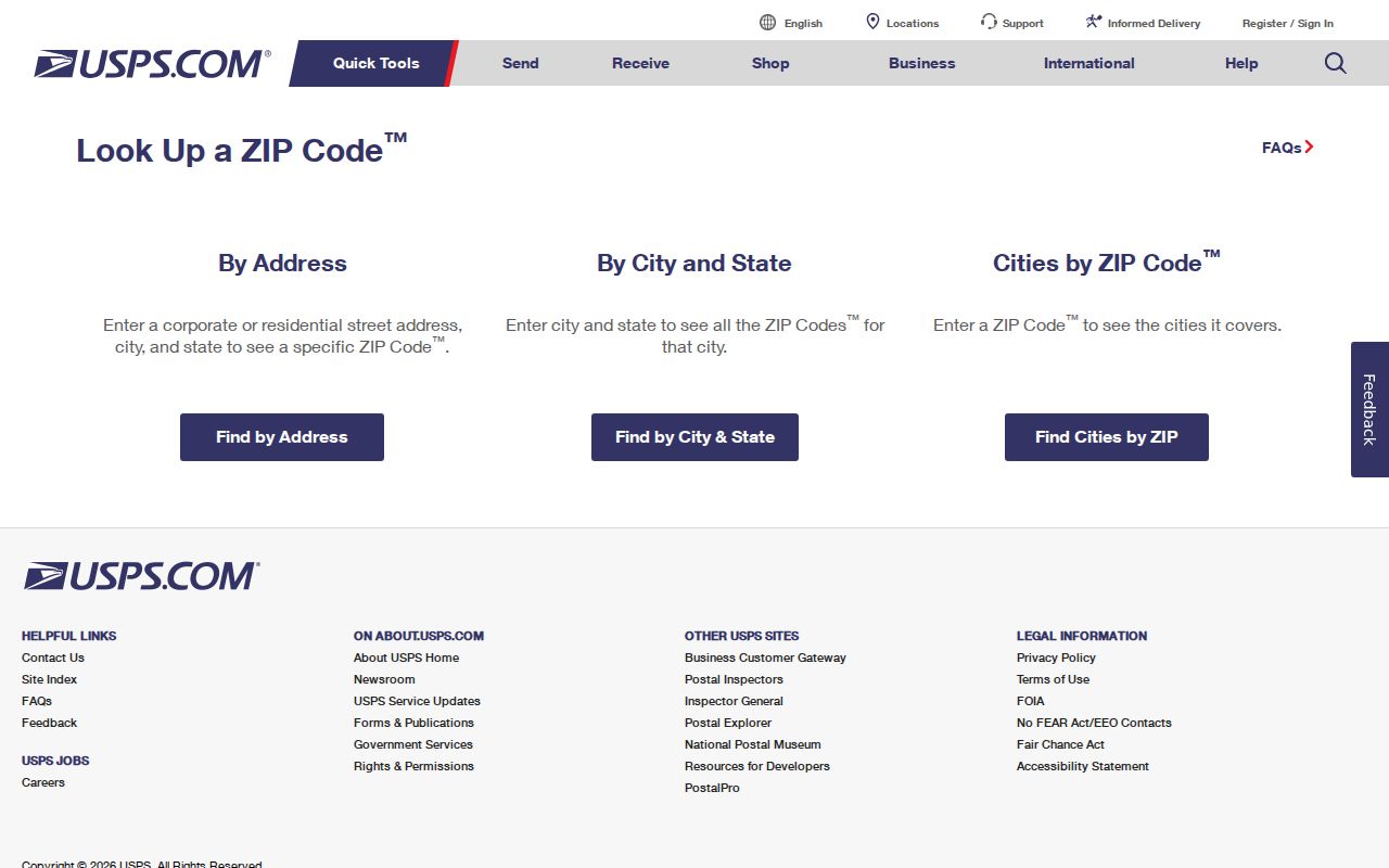
The three search modes help separate a standardized mailing result from a broader city or county claim.
Find Yakima Records Within One ZIP
A ZIP can narrow records only when the source actually accepts it. The county permit instructions explicitly provide a ZIP text field along with address number, direction, street name, street type, city, state, and parcel number. The fetched Assessor template did not expose a confirmed ZIP filter, so do not promise one. Use a full address or parcel route instead.
- Enter the known full address in USPS By Address and save the standardized result.
- Check Cities by ZIP for all recognized postal names tied to the code.
- Use the Yakima County Assessor or GIS links to confirm the parcel and county or city context.
- For permits, enter the ZIP with only the few address fields needed; check street-direction and suffix variants.
- If a street list is the true goal, continue with the Yakima County street directory workflow.
No official route documented here produces a current household list for an entire code. Property, permit, and voter sources each serve a different purpose and have their own limits.
Compare Yakima ZIP and Parcel
The Yakima County Assessor tools and county GIS links answer questions the postal result cannot. A parcel card can connect a situs address with an owner name, parcel number, legal description, tax-code area, values, building traits, and transaction history. The GIS viewer places that parcel among nearby roads and jurisdiction layers.
Neither source should be stretched. An Assessor owner is not automatically a present occupant. A county map is illustrative and is not a legal survey. Use the recorded instrument when ownership or legal effect matters, and ask the relevant city or county office when a jurisdiction line controls the answer.
Note: Keep the USPS result and parcel result as separate dated records because their city labels and purposes can differ.
Yakima ZIPs Are Not City Lines
ZIP geography is built for mail. City limits, county borders, voter precincts, tribal geography, and parcel lines are built for other tasks. The broad 98908 Yakima label can include places such as Ahtanum, Eschbach, Gleed, or Summitview in postal results. Selah's 98942 serves Selah and surrounding areas. Grandview and Sunnyside routing also illustrates why a postal label should not settle a municipal question.
The official USPS L012 label list groups destinations for processing. It does not define Yakima County. Use language such as “served by this ZIP” until parcel or municipal evidence supports a stronger statement. That small wording choice prevents a mailing code from becoming a false boundary claim.
- ZIP
- A five-digit postal routing code, not a city boundary.
- ZIP+4
- The five-digit code plus four digits that narrow a delivery segment.
- PO Box ZIP
- A code used mainly or wholly for post office box delivery.
- Unique ZIP
- A code assigned to one large organization or delivery recipient; none is asserted for Yakima here.
- Carrier route
- A postal delivery path inside a ZIP, not a resident roll.
Older Yakima Names Affect ZIP Research
Historic records may use North Yakima or Yakima City even though modern postal tools use present labels. Yakima City is now Union Gap, and the county seat moved to North Yakima in 1887. A current ZIP result should not be pasted onto an old directory or map as if the code existed in that form at the time.
Preserve the historic town heading, rural route, street suffix, and directional prefix. Add a modern normalized address in a separate field only after checking the legal description, lot and block, building footprint, or intersection. A deed description may remain stable while the situs display changes. A permit may use another street form. The research did not verify a specific Yakima block-renumbering event, so no date should be guessed.
Yakima ZIP Lists Have Limits
Washington voter files can include name, residential and mailing address, precinct or levy district, year of birth, gender, registration date, and last-voted date under RCW 29A.08.710. Yet voter data is restricted to political purposes and may not be turned into a commercial resident directory. VoteWA is designed for an individual voter's information, not an open ZIP-wide household export.
The same care applies to protected addresses. Washington's Address Confidentiality Program can substitute an address for eligible survivors and certain protected professionals. A blank or substitute address may be the intended privacy result, not a database error. Use Yakima ZIP searches for lawful personal, civic, postal, family-history, or property research. Do not use them to stalk, harass, or harm anyone.
Record a Yakima ZIP Result
A short source log prevents a recognized city label from being mistaken for a legal location. Capture the full address as entered, the standardized result, lookup date, returned city name, ZIP+4 when supplied, and the parcel cross-check. If the result conflicts with a local place name, keep both and label each source.
- Original street and unit wording
- USPS standardized city, state, ZIP, and ZIP+4
- Date and search mode used
- Assessor situs and parcel number
- GIS or municipal jurisdiction check
This method works across Yakima, Moxee, Selah, Sunnyside, Toppenish, Wapato, Zillah, and rural communities without pretending that postal and civic geography are the same. The result is narrower, easier to verify, and honest about what the ZIP code directory can prove.