
Yakima County Neighbor Sources
A block is best defined as a mapped set of nearby parcels, not a guessed list of private residents. The county parcel layer provides geometry and public labels. Assessor cards add tax and building facts. Recorded documents can explain a plat, easement, or shared land issue. Historic maps show a dated built environment. Each source answers a different block question.
| Source | What It Shows About a Block | Access |
|---|---|---|
| County Parcel Viewer/GIS | Adjacent taxlots, roads, parcel shapes and public map layers | Public map |
| Assessor cards | Owner display, situs, legal description, land and building facts | Public search |
| Auditor index | Deeds, easements, liens, plats, covenants and other recordings | AVA index, office and microfilm |
| Permit systems | Dated building work, project address and public project roles | City or county portal |
| Sanborn maps | Historic structures, lots, alleys and building uses | Digitized map sets |
| Civic maps and programs | Precinct, district, public project and adopted-block context | Official city or county source |
A displayed owner is not necessarily an occupant or every member of a household. A mailing address is not the parcel's physical situs. Even the line between two mapped polygons is illustrative until a recorded legal description or survey resolves a legal boundary. Those distinctions make a Yakima County neighbors search more accurate and less intrusive.
Map Yakima County Neighbors
The Yakima County GIS page provides parcel, precinct, planning, utility, groundwater, historic, and open-data routes. Start from one known address and work outward only as far as the immediate question requires. The live viewer's exact address, adjacent-selection, buffer, and export controls were not confirmed in the research capture, so do not assume a tool exists merely because another county map has it.
- Normalize the street number, direction, name, and type, then locate the address or parcel in an official county tool.
- Save the selected parcel number, situs display, layer name, map date, and visible neighboring polygons.
- Open each nearby Assessor card separately. Keep owner, situs, legal description, and building facts in distinct fields.
- Check a deed, plat, easement, or permit only when the block question calls for that added context.
Corner lots may front two streets. Alleys can split a visual block, and a condominium or manufactured-home park may contain several taxable interests. For an entire road rather than an immediate radius, use the Yakima County street directory workflow.
- Parcel
- A unit of land identified for assessment; it is not the same as a household.
- Situs
- The physical tax location shown on a parcel card.
- Plat
- A recorded plan that divides land into lots, roads, and other features.
- Legal description
- The recorded words that identify land more precisely than a street label.
Read Yakima Adjacent Parcels
The Characteristic Parcel Search can return parcel number, situs address, owner display, abbreviated legal description, neighborhood, tax-code area, property use, acreage, and building or land characteristics. Values, utilities, detached structures, and excise transactions may also appear according to property type and the current rendering.
Save only fields needed for the block question. The Assessor values property and organizes tax characteristics; it does not certify title or say who is home now. A trust, business, estate, representative, or person with another mailing address can appear as owner. Confirm legal ownership and transfer details in the recorded document, and confirm tax balances with the Treasurer.
Note: Use the map as orientation because Yakima County GIS material is illustrative and is not a legal survey.
Historic Yakima Neighbor Blocks
A modern parcel layer is only one date. The Library of Congress provides North Yakima's October 1888 Sanborn map, a Yakima 1920 set, and a 1950 set. These fire-insurance sheets can show building footprints, materials, uses, lots, alleys, and nearby structures. They usually do not name every private occupant, so pair the map with a dated directory, deed, newspaper, or permit.
The North Yakima name matters. The courthouse moved from Yakima City, now Union Gap, to North Yakima in 1887, and later records use Yakima. A block that seems absent may sit under an older place heading. Preserve the map's date and wording. Do not force an old street number onto a current parcel unless the legal description, footprint, or another dated record supports the match.
Meet Yakima Through Civic Channels
Research did not locate a comprehensive official directory of active neighborhood associations. The safe contact layer is instead made of named public programs and offices. The City of Yakima Adopt-A-Block program connects residents and organizations with location-based civic work. It does not list every person near an adopted block.
The Office of Neighborhood Development Services routes questions about neighborhood projects and citizen participation. Contact it at 112 S 8th Street, 509-575-6101, or ask.onds@yakimawa.gov. City boards and commissions, the Henry Beauchamp Jr. Community Center Advisory Committee, and Downtown Yakima civic structures can also provide public participation routes when relevant. Ask the office for a current public group contact rather than relying on an old private roster.
The city's Adopt-A-Block page shows this public civic route:
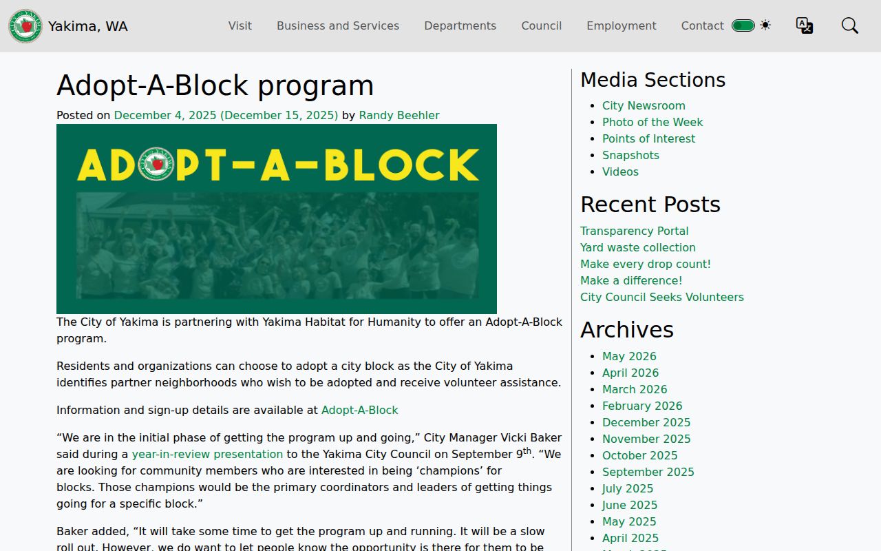
The program adds a place-based community layer without claiming to identify every private household on the block.
| Local route | Appropriate use | What it is not |
|---|---|---|
| Neighborhood Development Services | Current projects, participation and public contacts | A resident roster |
| Adopt-A-Block | Civic care tied to a published location | A list of all neighbors |
| Boards and committees | Published public meetings and civic roles | Private group membership |
Yakima Neighbor District Layers
Precinct and commissioner maps add civic geography without exposing household details. The county's interactive maps provide entry points for parcels, precincts, zoning, and commissioner districts. These layers can answer which public district covers a block. They cannot establish who lives in each home.
Washington voter files have separate limits. Statutory fields can include name, residential or mailing address, precinct or levy district, year of birth, gender, registration date, and last-voted date. The county file route requires a data-use agreement and restricts data to political purposes. It is not a general block directory. VoteWA is designed for a voter's own information, and Safe at Home can shield an eligible participant's actual address.
Official Yakima Neighbor Evidence
Commercial neighbor tools often merge old address lists, public indexes, and other compiled data. Their freshness and matching methods may not be clear. Official records have narrower scope, but they identify the custodian, record date, and reason a field exists. That makes them easier to check and correct.
| Choice | Strength | Limit |
|---|---|---|
| County GIS and Assessor | Dated official parcel context | Owner is not guaranteed occupant |
| Auditor or permit record | Recorded instrument or public project fact | Does not list a full household |
| Commercial compilation | May combine many leads | Source dates and matches may be unclear |
When a public record looks wrong, contact its custodian. The Assessor can address parcel-card issues, the Auditor controls recorded indexes, and the city or county office controls its permit records. A private compilation cannot change the source record.
Yakima County Neighbor Privacy
Renters, children, guests, and other household members are not established by a parcel card. Utility, delivery, and private membership data are not public block directories. Protected court records, sealed material, and certified vital records keep their own limits. Washington's Safe at Home program uses a substitute address for eligible survivors and certain protected professionals.
Capture only what makes the map work reproducible: search address, parcel ID, situs, public owner display, map layer, visible adjacent parcels, and capture date. Do not publish an inferred household list. This narrow method still supports property curiosity, family history, public district questions, and civic participation.
Lawful use. Use Yakima County neighbor records for respectful personal and civic research. Never watch, track, threaten, harass, or expose another person.